Flight planning application with topography tracking


The Map Pilot app helps you create and navigate the optimal flight path for your photogrammetry missions. Map Pilot is one of the most widely used third-party applications by DJI drone operators. With this all-in-one application, mapping has never been easier.

The advantages:

  • Plan and manage missions without Internet connection, even in a desert area, with offline map caching capability
  • Make long trips, resume flights from a certain destination point after changing the battery
  • Adjust flight parameters in a few clicks with the assurance of a good capture

Improving safety:

  • Use SRTM data to increase the accuracy and safety of field-tracked missions.
  • Adjust authorized range and no-fly zones to meet regulatory requirements. 

An effective solution:

  • Automated drone mission planning
  • Integrated photogrammetry and geolocation tools
01

A one-day training session

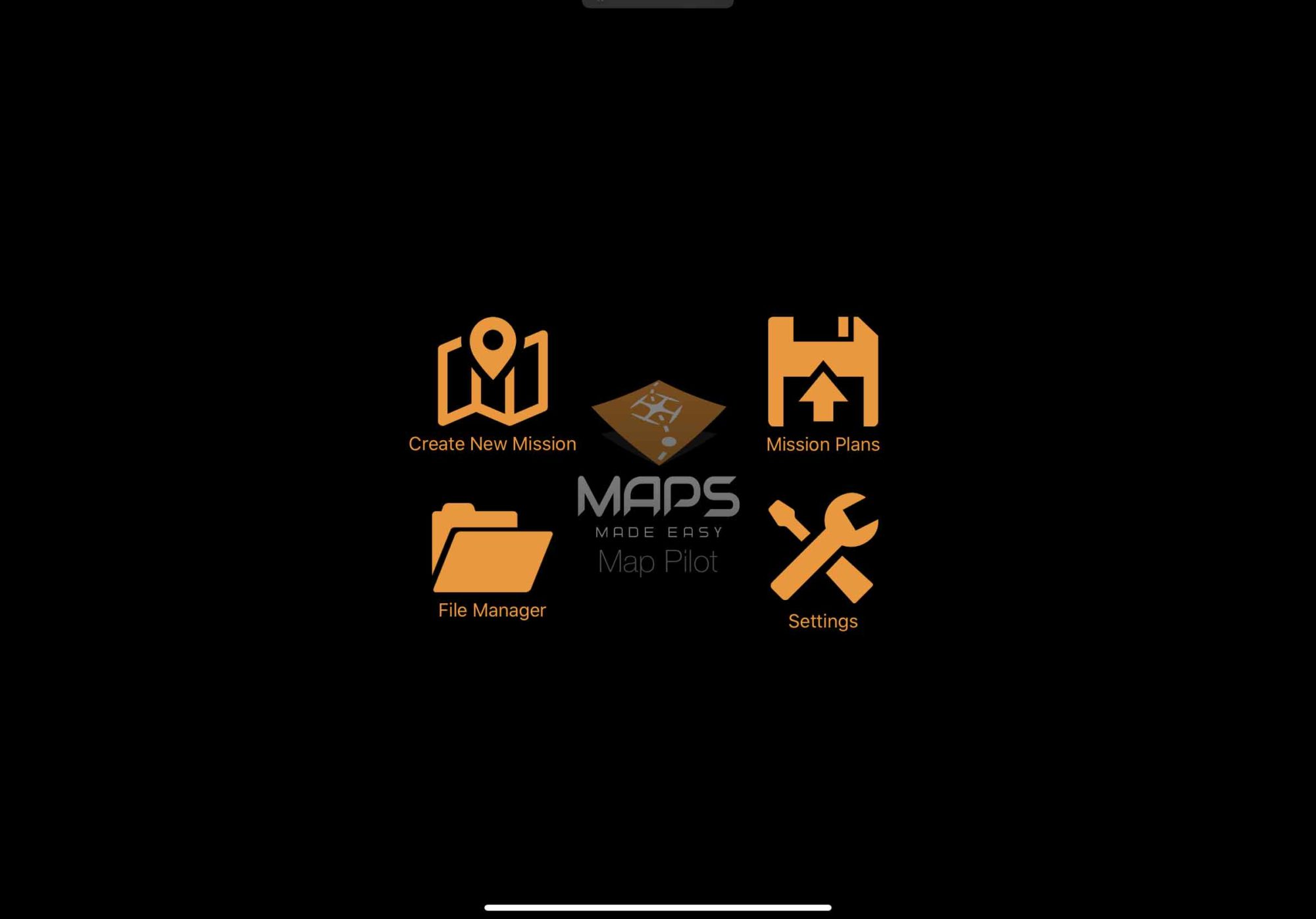
The Map Pilot application is inexpensive and allows successful capture. One day will be enough to master it thanks to our methodology. This training guarantees you to master this application with ease.
02

Plan surveys with field tracking

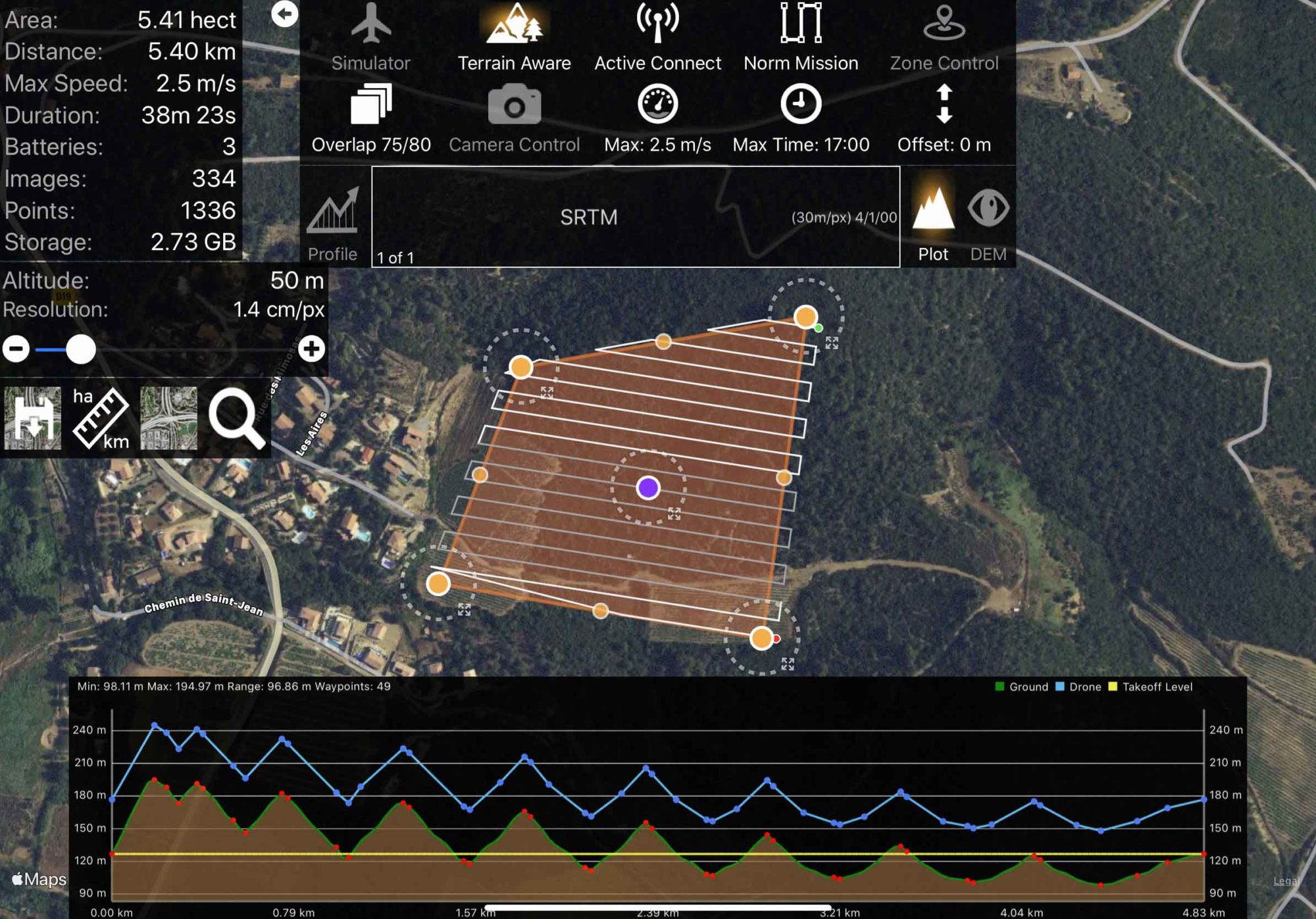
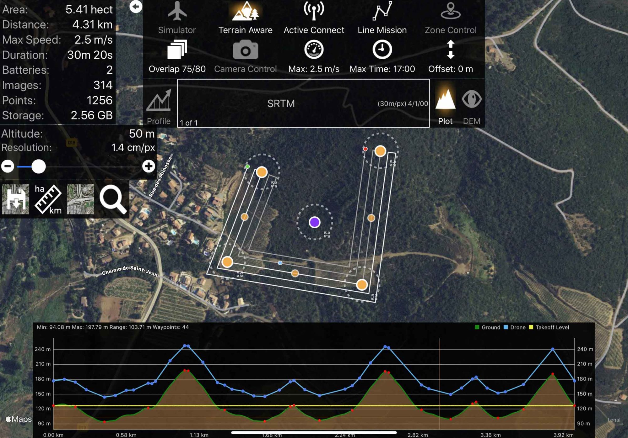
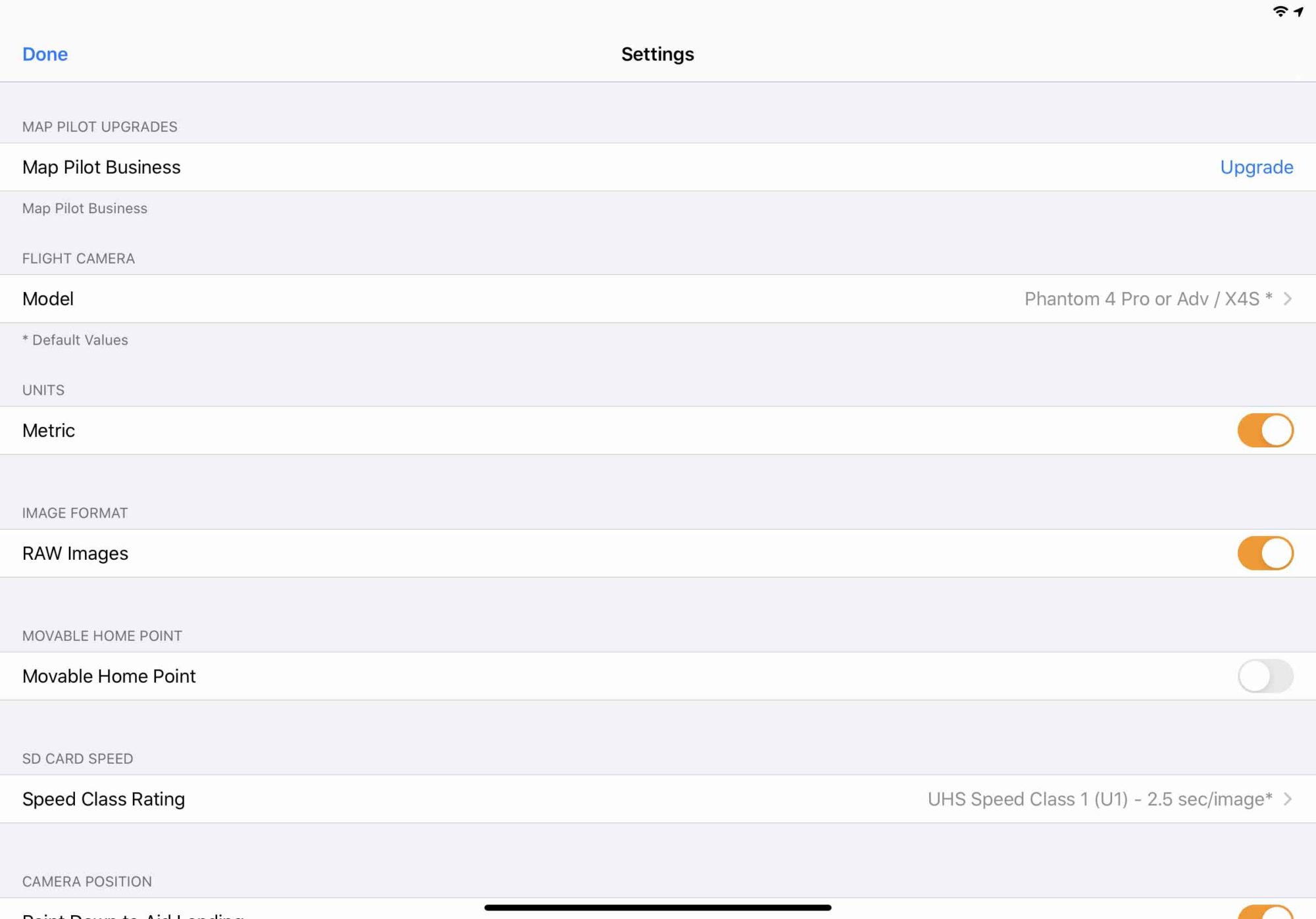
We will tell you the parameters to be filled in in the application, how to apply the topography tracking, import kml, adjust the options to ensure a good capture.

03

Theory and implementation

Once the methodology is acquired, qualifying flights will be conducted to make the trainees 100% autonomous with this application.

04

Rates

One day of training in Servian (34): 500 euros HT

Included

  • Coordination of multiple flights
  • Linear flight plan
  • Monitoring of the topography
  • Multi-battery management
  • Flight logs visible in google earth
  • Logs of successful operation of the drone
  • Mapping without connection
  • Easy height adjustment from 20 to 150m
  • Hidden map background for offline flights
  • Registration of missions
  • Maximum battery management
  • Automatic shutter adjustment according to brightness
  • Adjustment of the recovery rate
  • Speed management
  • Automatic take-off
  • Automatic landing
  • Large or reduced video feedback
  • Signal quality alarm
  • Indication of the advance of the catchment
TOP