Map Customization | Offline
Route creation by KML data
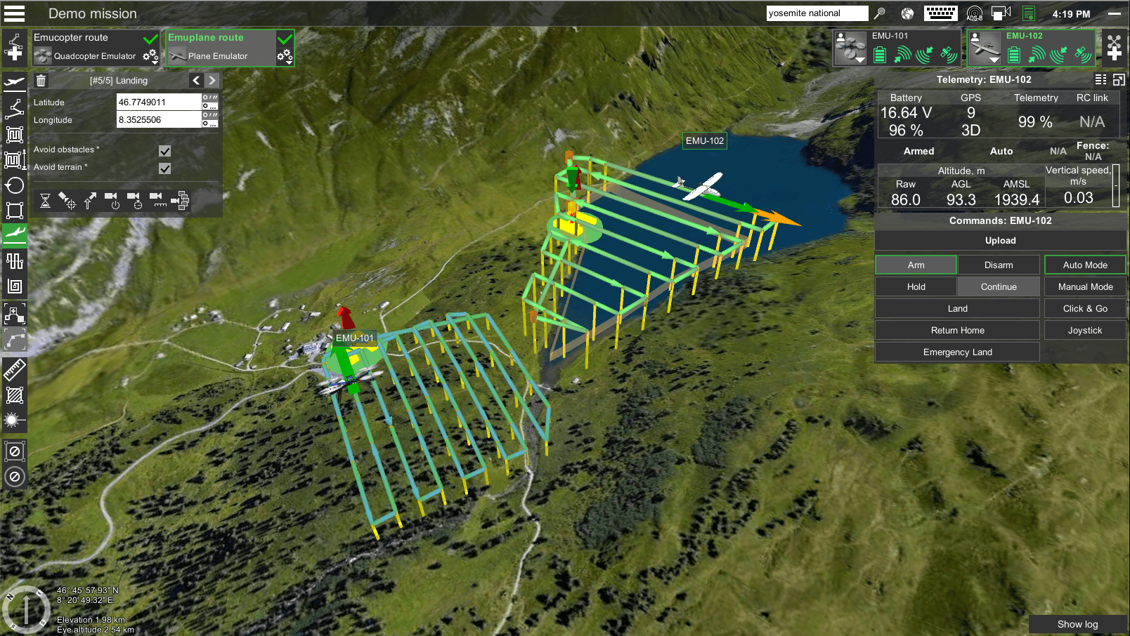
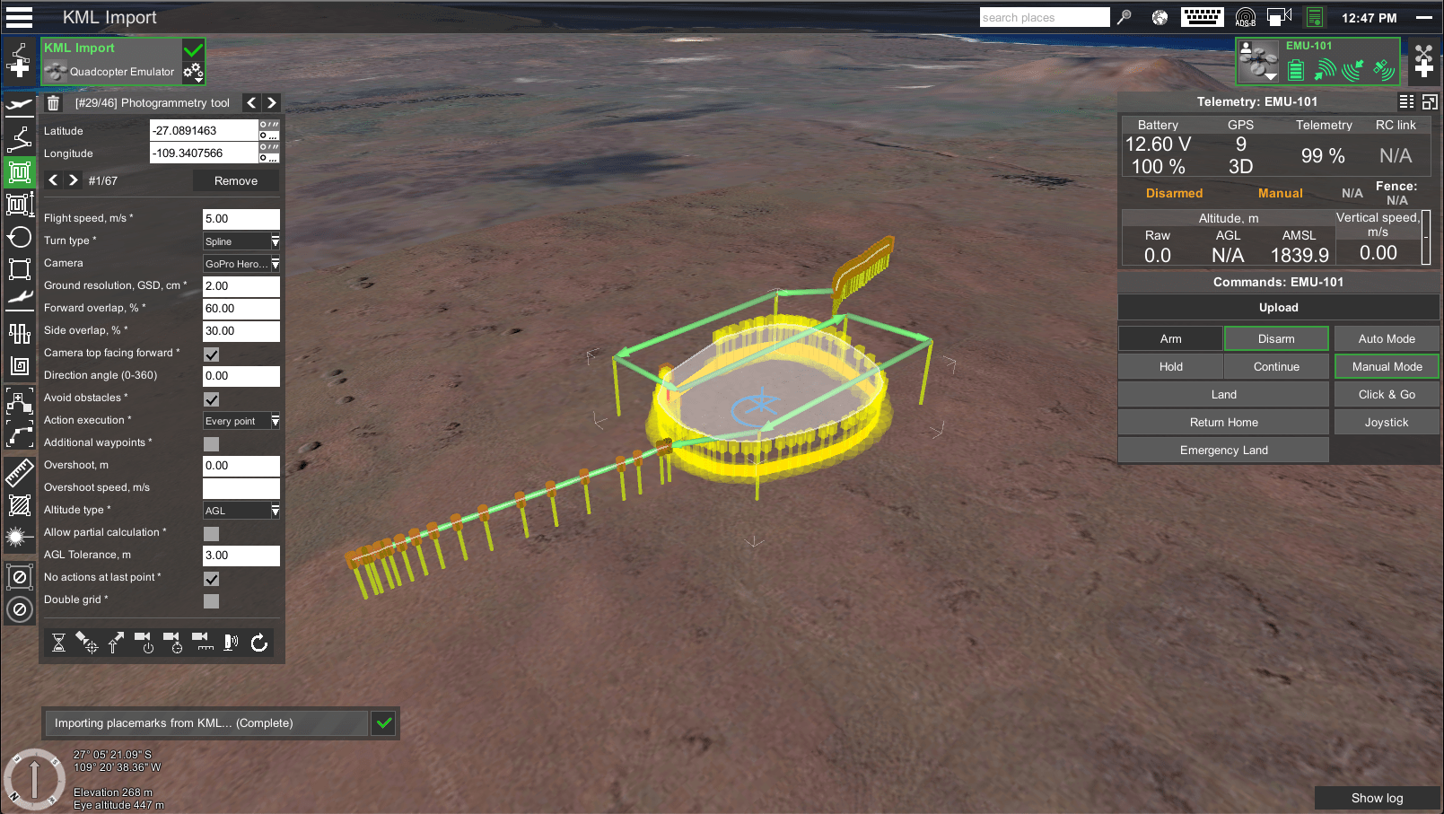
KML files containing the survey area boundaries can be imported into UgCS to define the precise location of the survey. The "LineString" segments of the KML file will be imported as a simple waypoint route. The "LinearRing" segment can be imported as an "Area scan", "Photogrammetry" or "Perimeter" type route.
Planning surveys with field monitoring
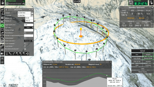
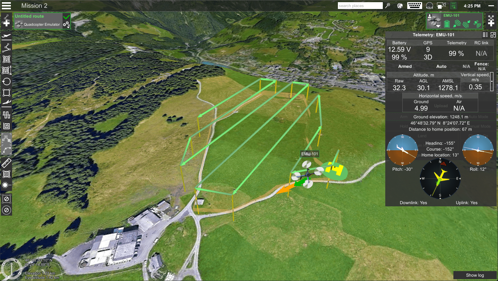
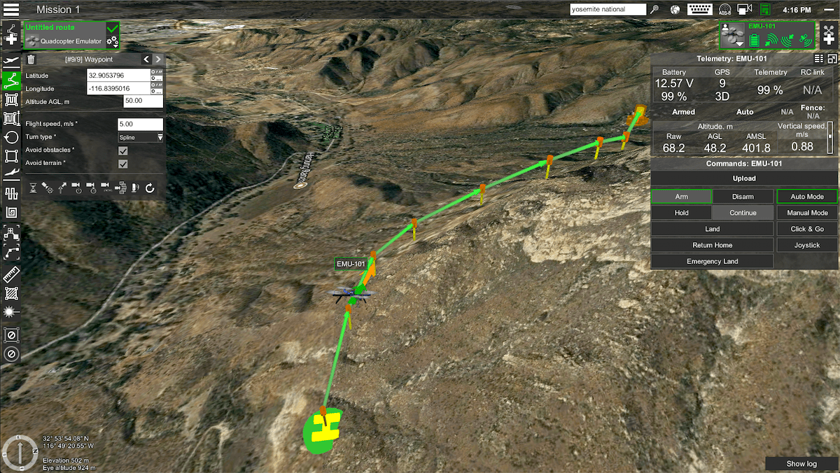
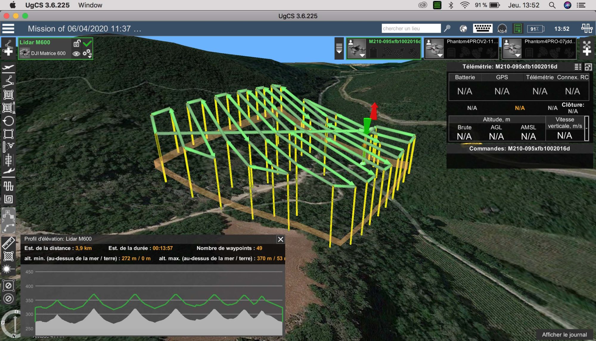
UgCS allows mission planning in terrain-following mode - allowing a vehicle flying at very low altitude to automatically maintain a relatively constant altitude above the ground. The accuracy of the UgCS default SRTM database varies, so to enable accurate and safe flight at a given altitude, accurate data must be imported from the Digital Elevation Model (DEM) of the survey area.
Import DEM for safer mission planning
The terrain is always changing, but changes are not always implemented into 3D maps as fast as it is needed. To plan an automated low altitude or mission with terrain following for the purposes of mapping, surveying or monitoring, import Digital Elevation Model (DEM) into UgCS to plan safe missions.
Georeferenced image import as Map overlays
To fly automated drone missions precise maps are more important than ever. Import GeoTIFF images as map overlay into UgCS, providing the power to customize the maps to suit your needs.

