MODELING OF STRUCTURES / BUILDINGS

Since 2014, the Instadrone network's remote pilots have acquired expertise in the inspection of engineering structures, buildings and structures. Instadrone has invested in cutting-edge capture vectors that enable the production of millimetre orthophotographs (with a geospatial accuracy of 5 mm). Before each intervention, the remote pilot receives a set of specifications that will have been jointly established between our client and our analysts.

Our inspections are particularly suited to all those involved in construction, civil engineering, public works, infrastructure and networks.

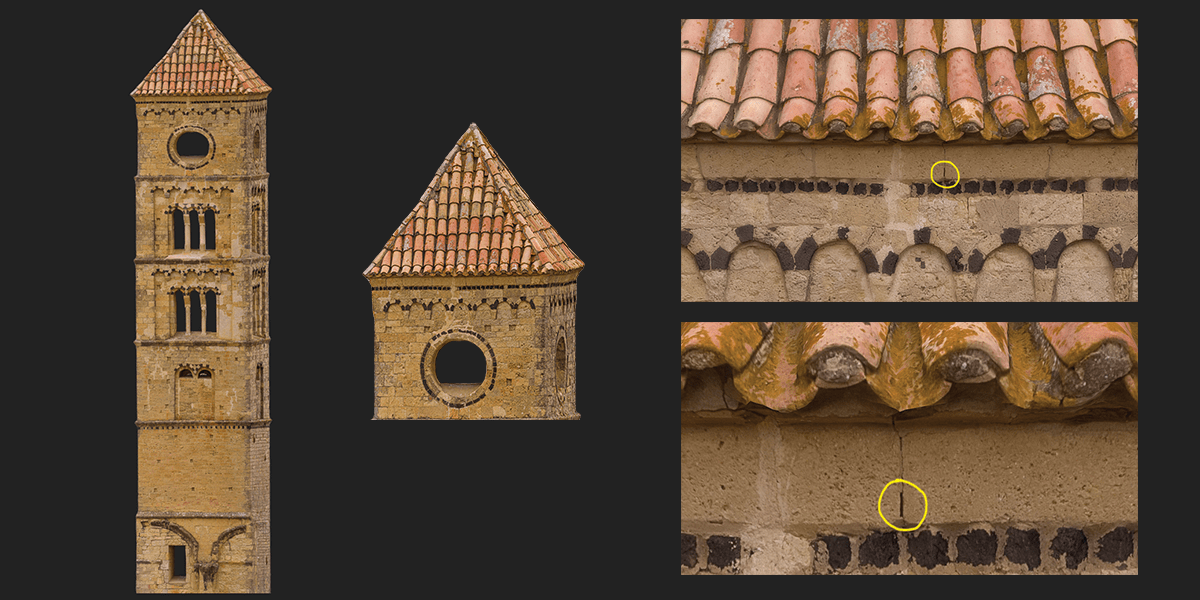
The control of our flight plans and cameras allows us to guarantee the efficiency of our captures and the accuracy of our models.

Technical Equipment

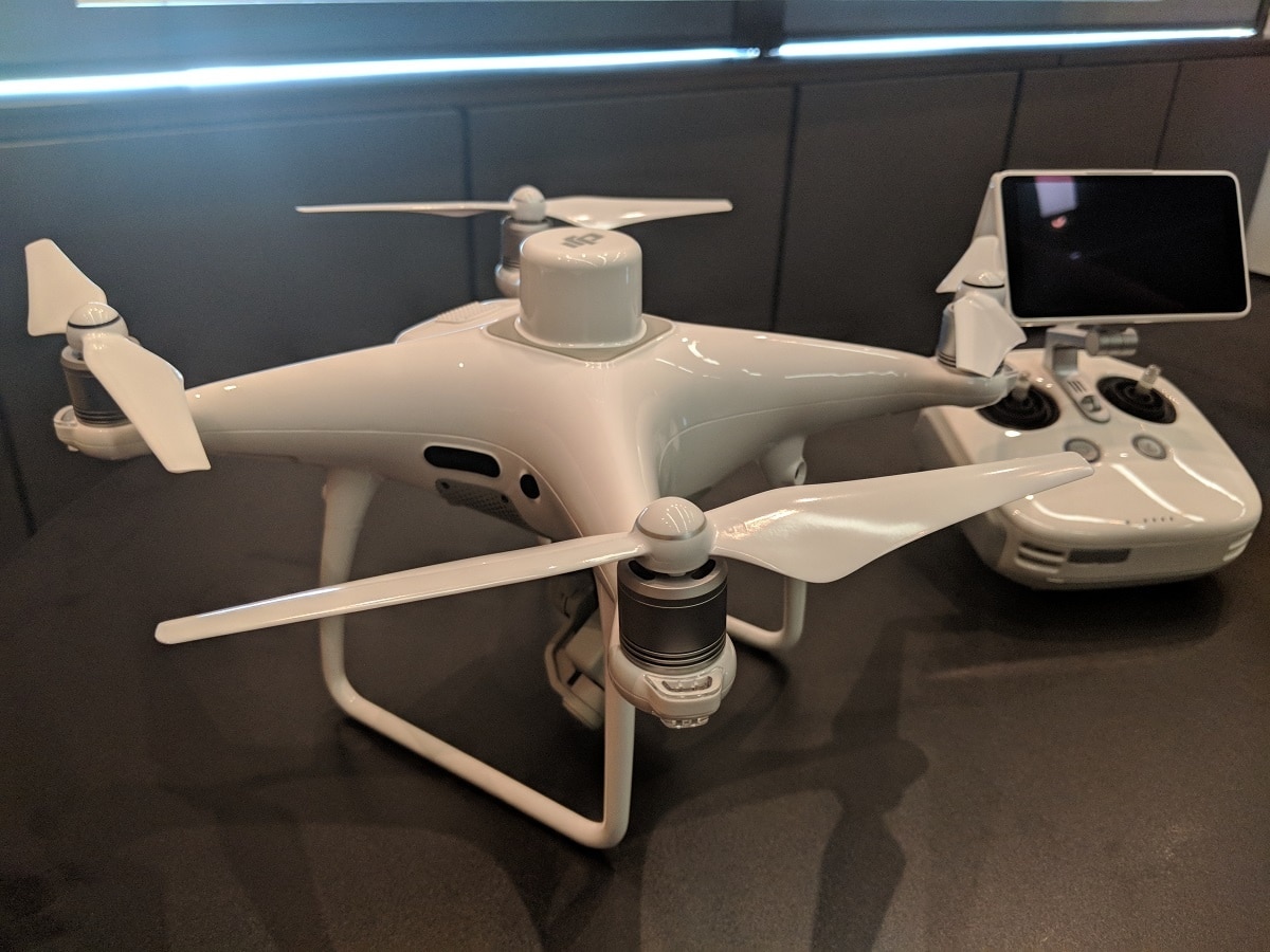
The DJI Phantom 4 RTK UAV is the ideal solution to carry out all your photogrammetry work with centimetric precision. The most accurate metadata will be recorded in each photograph captured by the 1-inch 20MP CMOS camera. SyncTime technology contributes to this data finesse by merging the data from the different modules for absolute perfection. Sampling is from 2.74cm to 100m altitude.

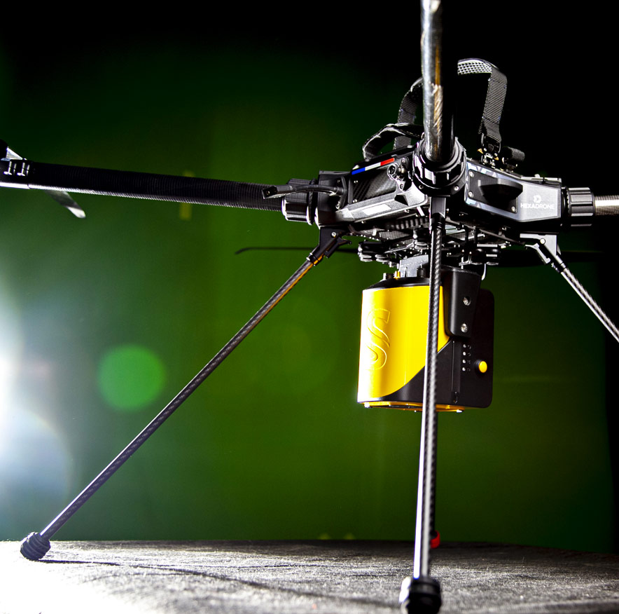
Instadrone is equipped with the TUNDRA a modular drone 100% French that can adapt to many missions.

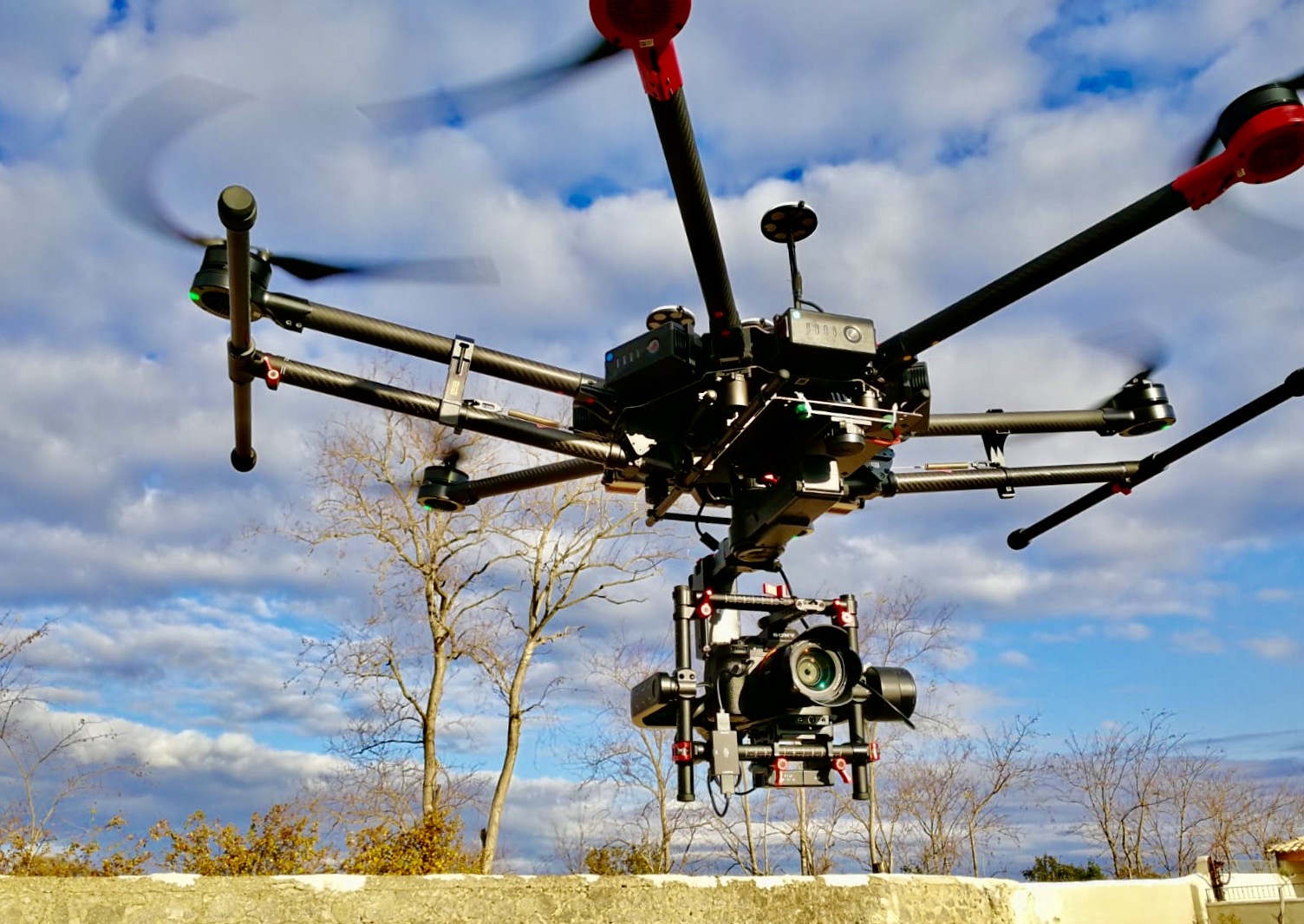
Our DJI M600s are now equipped with the 61 million pixel SONY Alpha 7RIV for even more quality.

TOP