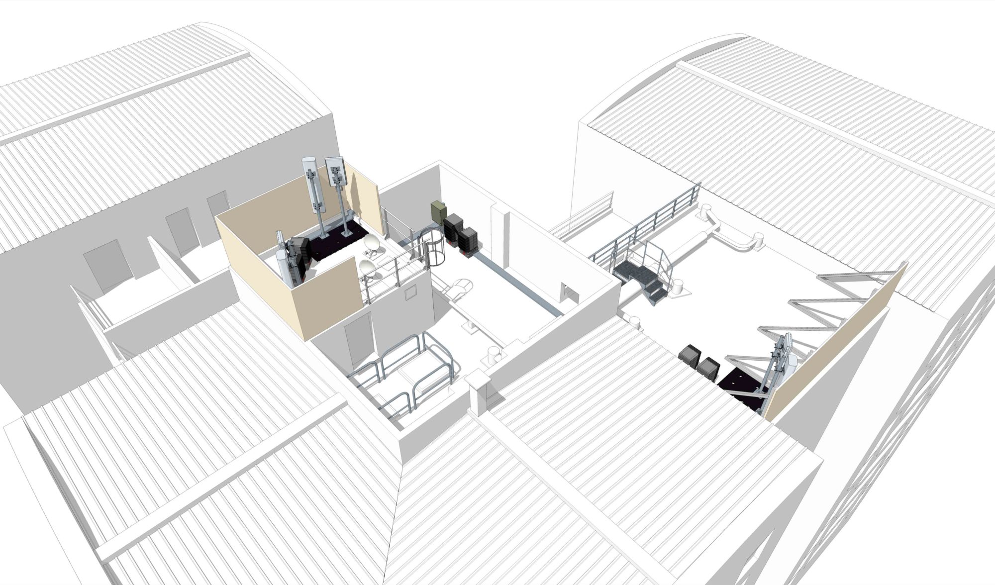
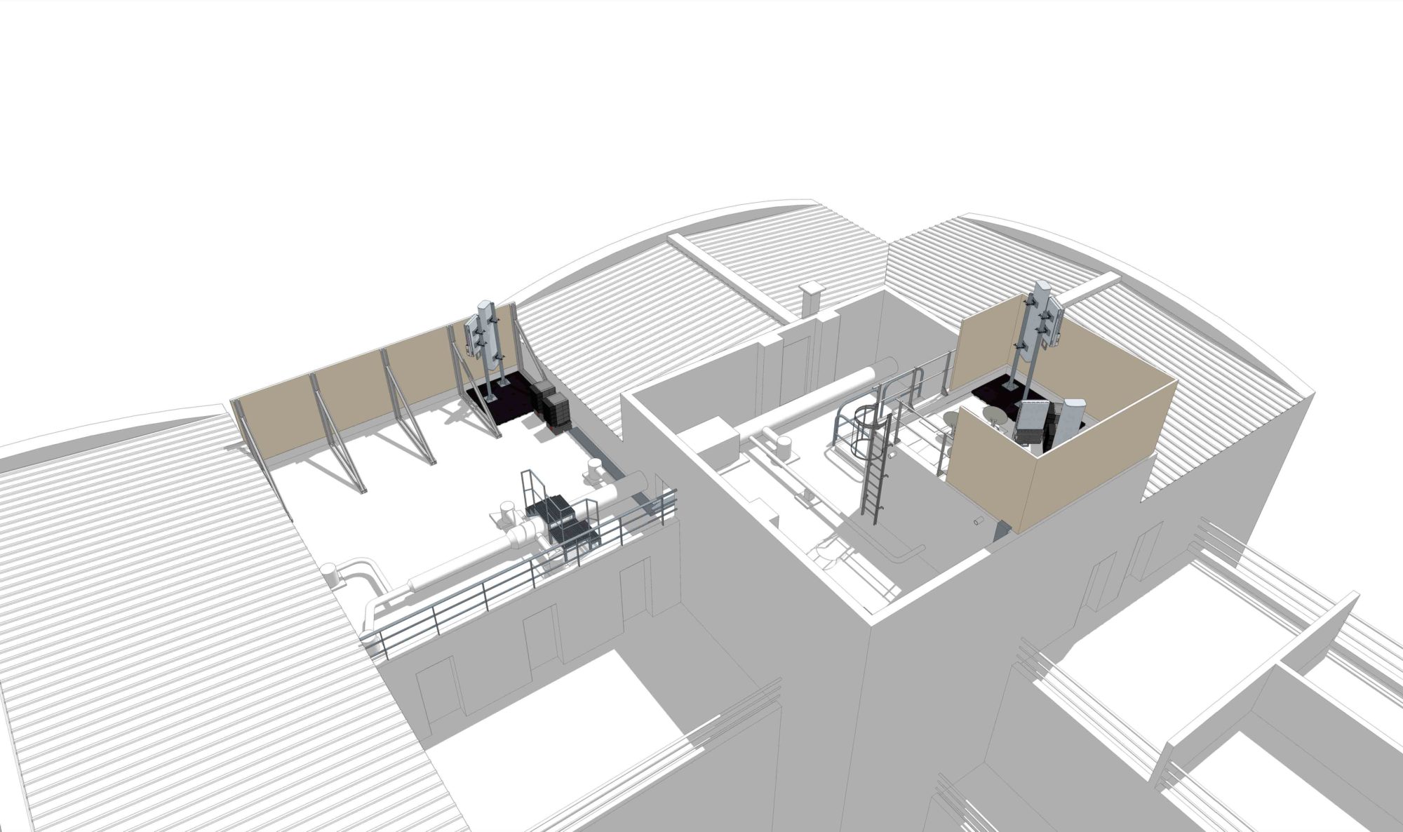
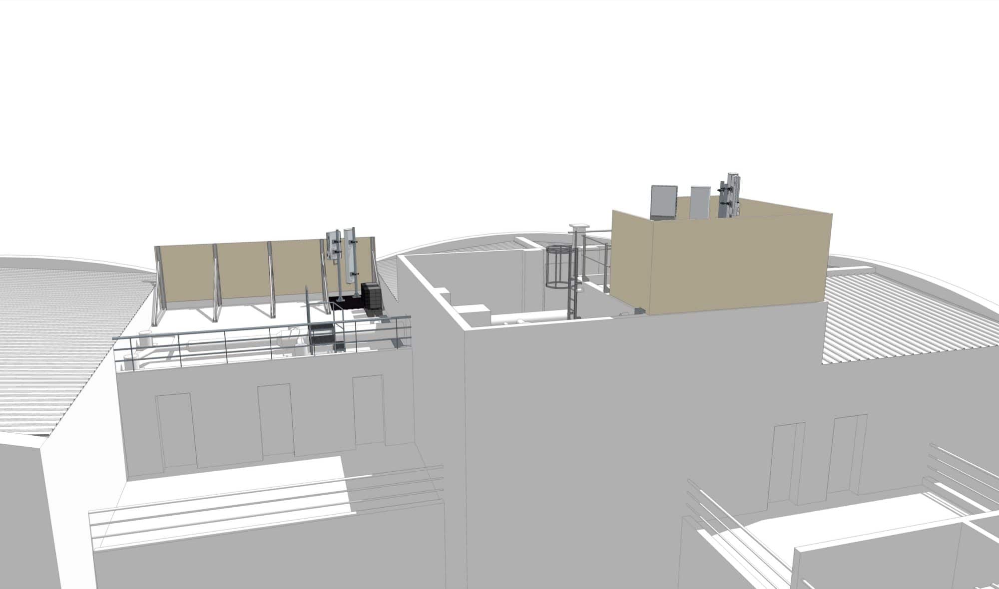
TOPOGRAPHICAL SURVEY OF ROOFING AND FLAT ROOFS
Instadrone has developed a service specially dedicated to telecommunications to enable the study of antenna installation on roofs and terraced roofs that are inaccessible.
Our RTK UAVs allow the topographic survey of inaccessible roofs in conditions of maximum safety.
Our deliverables will allow your draughtsmen to make topographic plans and to carry out their measurements without moving.
We guarantee final deliverables with an accuracy of less than 5cm in X, Y and Z.
At your convenience, we can deliver point clouds (Laz, Las or E57), models (obf, dxf), orthos (tiff) in the cartographic projection of your choice in order to carry out your plans on your usual software.