A SIMPLE AND EFFECTIVE SOLUTION
The Instaboat aquatic UAV is designed to carry out bathymetric surveys of continental and coastal waters.
Bathymetry brings together the science and technology of depth measurement or estimation in order to better understand the submerged relief. This science is essential for a large number of applications such as navigation safety, environmental knowledge and monitoring, hydrodynamic modelling and the management of industrial sites (dams, quarries, water reservoirs, etc.).
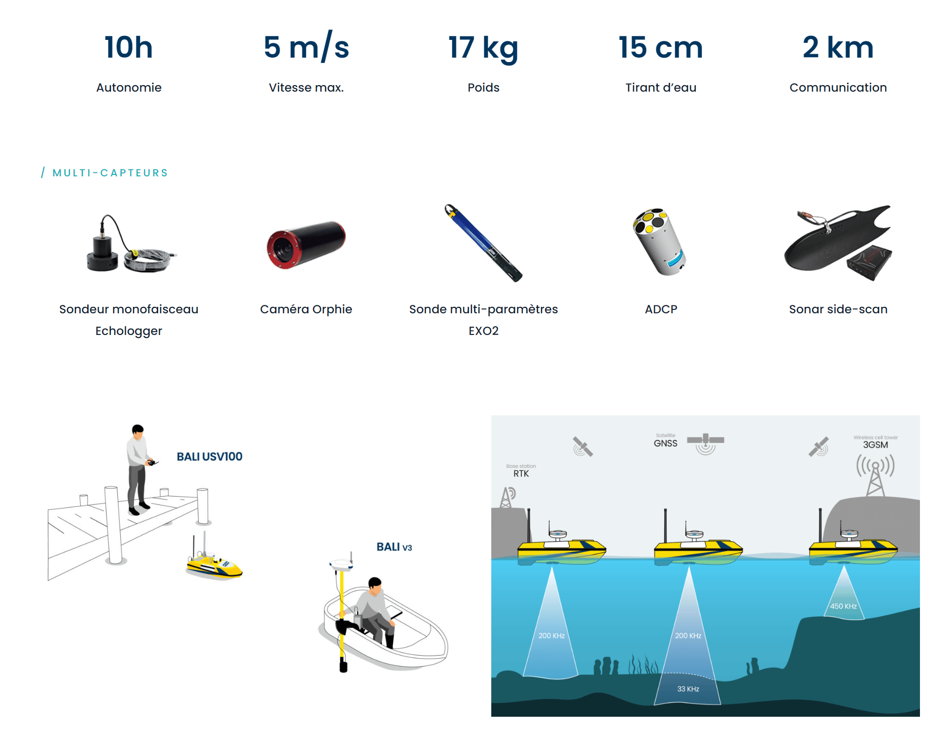
Self-piloted and equipped with a scientific quality single-beam single-frequency acoustic sounder, the instaboat is able to map autonomously and with a high accuracy depths from 0.4 m to 200 m.
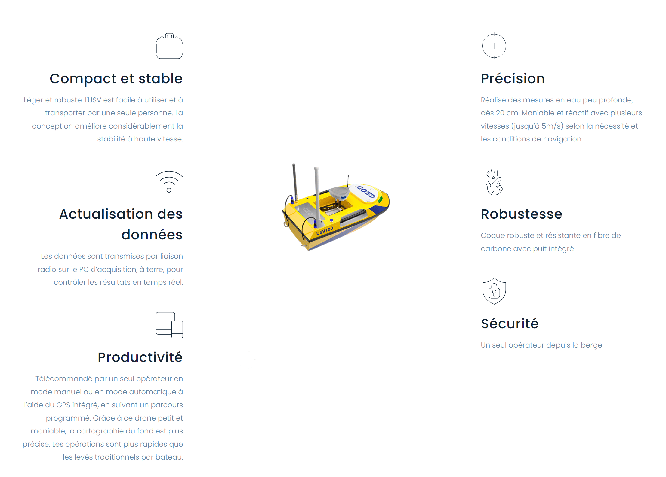
The Instaboat has been specifically developed to meet the constraints of professional use with resistant materials, remote control via a touch-sensitive tablet interface and compactness making it easily transportable and operable by one person.
Technical specifications :
- Acoustic depth sounder Airmar SS510 200 KHz 9° (accuracy 1 cm + 0.1% of the depth)
- GNSS RTK and nRTK receiver (Teria)
- Triple redundant inertial unit
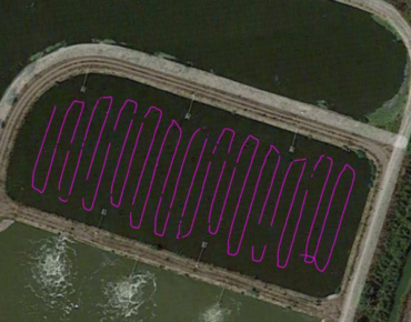
- Live video feedback and automatic mission planning on the shore station
- Catamaran hull for better stability on the water
- Brushless motors for greater autonomy and longer service life
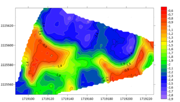
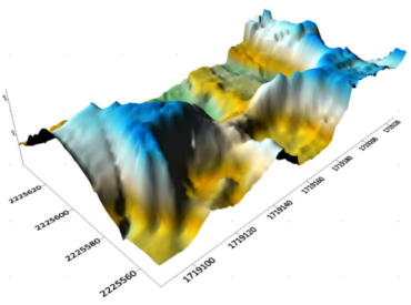
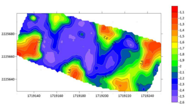
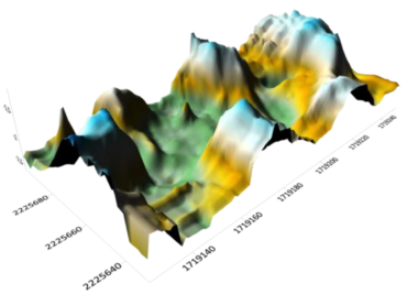
Once the depth and positioning data have been filtered and corrected, detailed bathymetric maps are produced according to the client's expectations (isobaths, slope calculation, cubatures, detection of objects on the bottom, etc).
Ask for your quote on contact@instadrone.fr
The figure below shows an example of a production based on bathymetric data from SHOM (Service hydrographique et océanographique de la Marine).

