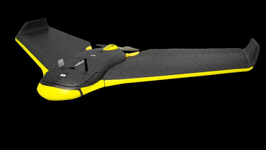
THE DRONE FOR TOPOGRAPHY


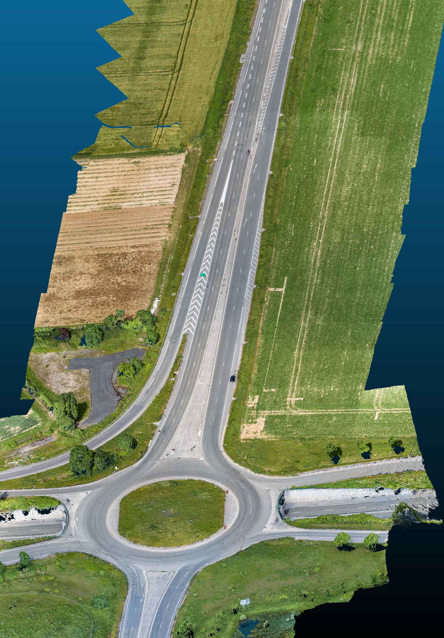
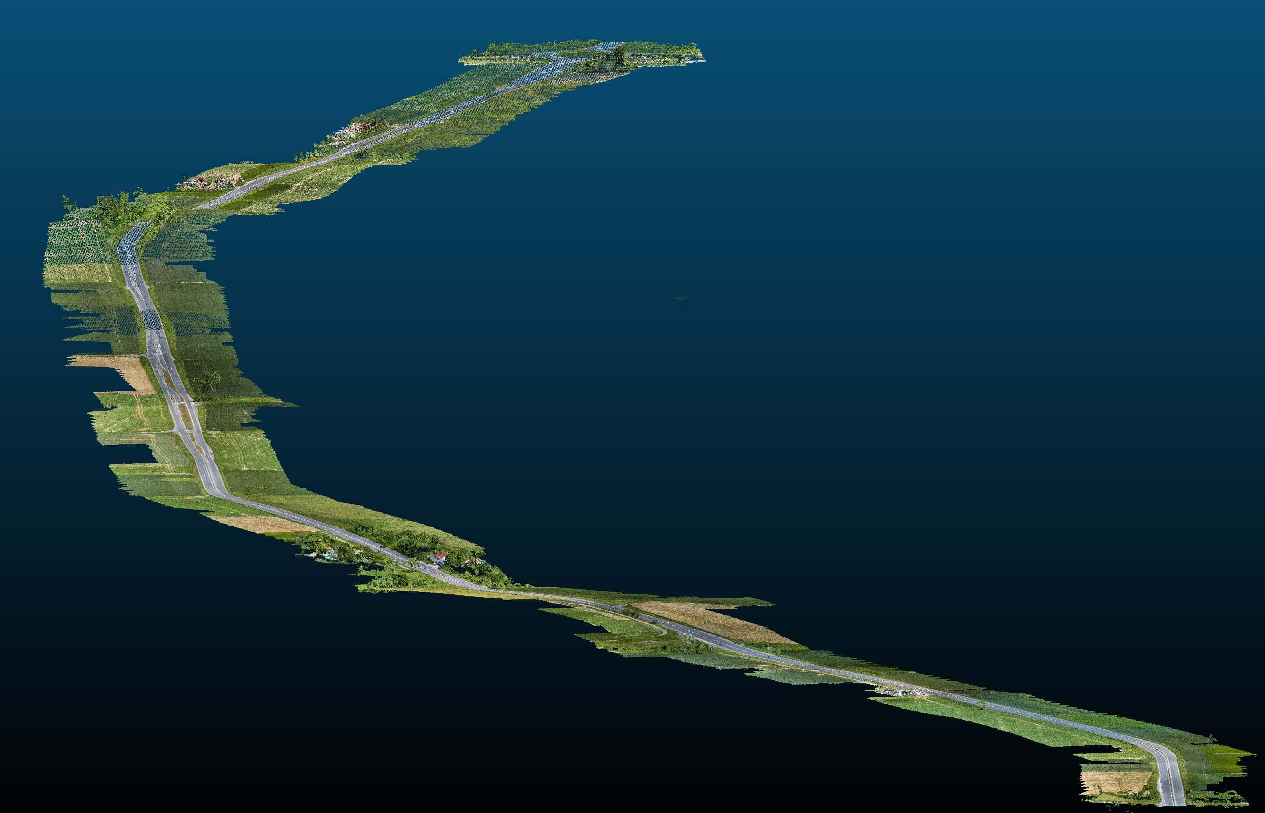
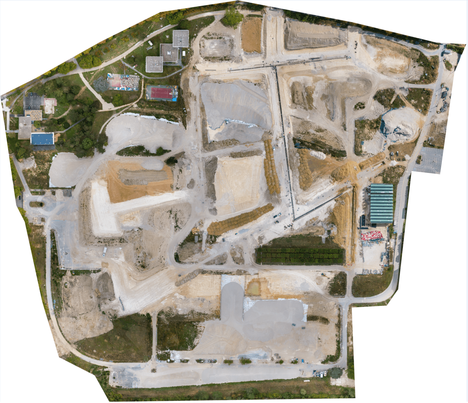
With UAV photogrammetry, it is now possible to model an area in 3D in order to make plans and measurements (lengths, surfaces, volumes).

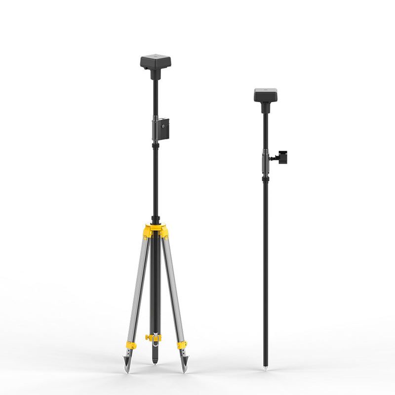
We carry out high-precision topographic surveys thanks to photogrammetry.

This development opens new opportunities for the measurement and technical inspection sectors (surveyors, topographers, archaeologists, construction trades, architects, cartographers, industrialists...).

Despite these advances, many surveyors and cartographers have expressed concerns about the accuracy of data and deliverables acquired by UAVs. To address these concerns, DJI has rethought its UAV technology from A to Z by transforming its systems to achieve a new standard of UAV accuracy.

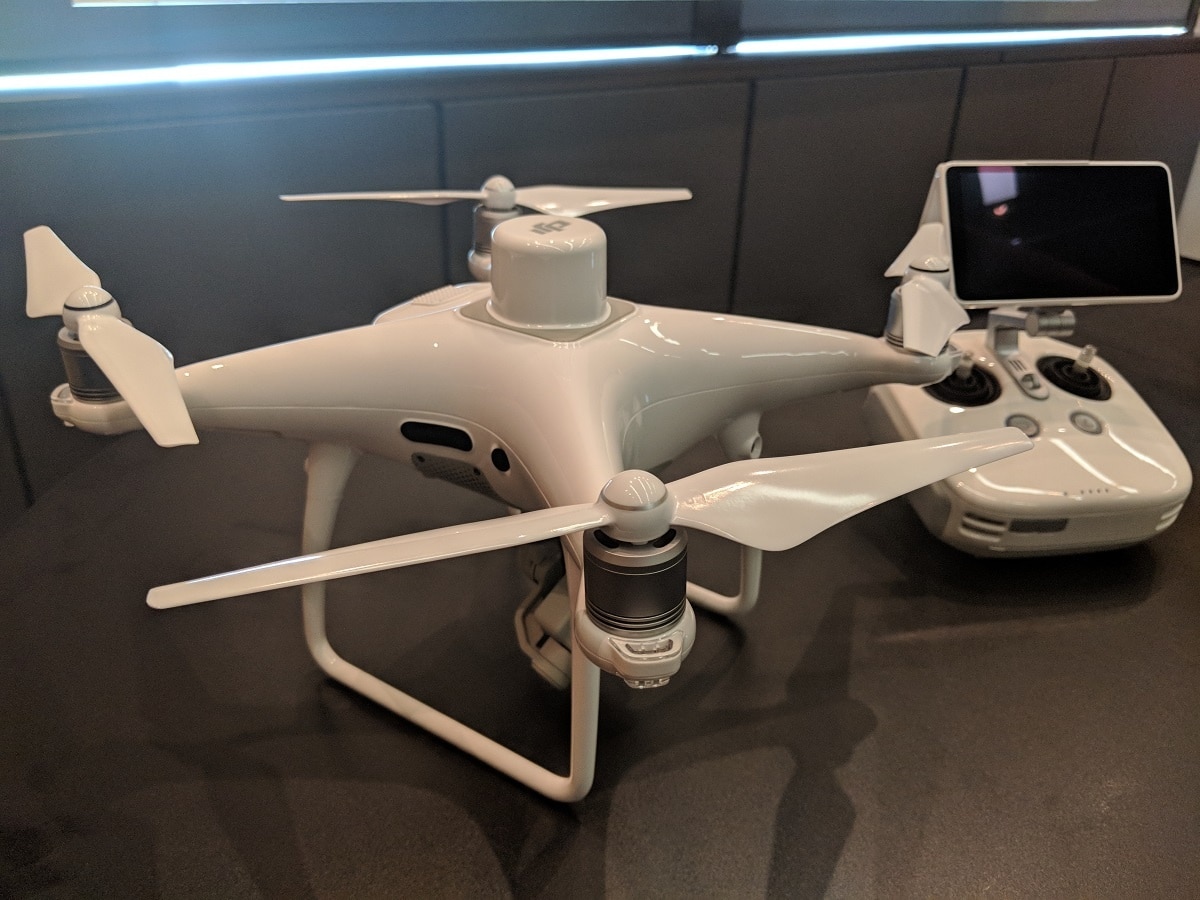
The result is the all-new Phantom 4 RTK and M210 RTK.
These drones have allowed us to increase the accuracy of our models.

Our services are carried out with the collaboration of our engineering office Info Geo Data Provider whose analysts guarantee the quality of our data.

Technical Equipment

DJI's high-precision GNSS mobile station D-RTK 2 has been developed to work with the DJI Phantom 4 RTK UAVs. This system provides an absolute horizontal accuracy of 5cm, without any network coverage.

The DJI Phantom 4 RTK UAV is the ideal solution to carry out all your photogrammetry work with centimetric precision. The most accurate metadata will be recorded in each photograph captured by the 1-inch 20MP CMOS camera. SyncTime technology contributes to this data finesse by merging the data from the different modules for absolute perfection. Sampling is from 2.74cm to 100m altitude.

Make more maps, with greater accuracy. The Ebee can cover up to 12 km² in a single flight. When it flies over from smaller areas, at lower altitudes, it is capable of capturing images with a resolution of 1.5 cm per pixel, thanks to its system ground sampling (GSD).

Instadrone allows you to follow the evolution of your mines and quarries by photogrammetric process. Take advantage of considerable time savings to increase your productivity. Its accuracy and capabilities give you a true overview of your career. The use of a UAV to carry out the surveys allows you to avoid risks by staying away from the edges of the cutting edge and the machines, and exempts the personnel from having to work on the stocks.

For photogrammetric captures that are as accurate as they are resolved, the INSTADRONE network uses its DJI Phantom RTK drones to the maximum of their ability thanks to the monitoring of the topography coupled with the RTK correction of the TERIA network allowing a constant GSD.

Inventory of a site : - topographical plans of natural or developed sites - 3D modeling (volumetry) - MNS (Digital Surface Model) - DTM/DEM (Digital Terrain or Elevation Model).

Ground point control

High absolute accuracies require the addition of Ground Control Points (GCP) and other control points for verification purposes. We use the Emlid Reach RS2 GPS to provide the necessary accuracy for our models.

  • Eiffage Road

  • Eiffage Long Road

  • Chatenay Malabry

TOP