UN PROJET, UNE QUESTION ? APPELEZ-NOUS AU +33(0)4 65 84 71 20 - contact@instadrone.fr

Instadrone

  • NETWORK
  • SERVICES
    • Telecommunication
      • Panoramic
      • Inspection
      • Microwave Targeting
      • Pathloss Report
      • Roof modeling
      • Prospecting Assistance
    • Topography
      • Photogrammetry
      • Bathymetry
      • Multispectral
      • Lidar
    • Modelisation
      • Structures
      • BIM
      • Examples of Achievements
    • Inspection Sampling
      • Engineering structure
      • Wind Farm
      • Thermal inspection
      • Worksite monitoring
      • Underwater inspection and aquatic sampling
    • Agricultural Services
    • Instadrone’s Formation
      • Formation UgCS
      • Formation DJI Phantom 4 RTK
      • Map Pilot Formation
  • NEWS
  • CONTACT US
  • English
    • Français
    • English
    • Español
    • Português
    • العربية المغربية
    • Polonais
    • Italien
  • Home
  • NEWS
  • Instadrone-EN
  • Start of Lidar capture
Tuesday, 15 January 2019 / Published in Instadrone-EN

Start of Lidar capture

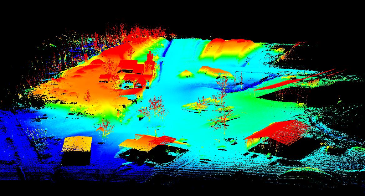
Lidar capture is off to a strong start at the beginning of the year, as we have surveyed 100 hectares on a single day for the installation of photovoltaic panels. These Lidar captures are doubled with photogrammetric surveys in order to provide a maximum of information to our customers and to allow our expert surveyor to produce the cartography.

Contact us for more informations!

  • Tweet
Tagged under: 3D achievements, advice, ALPHA 7RIV, aquatic sampling, autonomous, bathymetry, building information modeling, dji, drone, engineering structures, formation, gps, innovation, inspection, instadrone, lidar, microwave targeting, modeling, multispectral, network, pathloss report, phantom, photogrammetry, prospecting assistance, roof modeling, services, telecommunication, topography, wind domain, worksite monitoring

What you can read next

Why use a service provider for drone services?
Geophysical survey
Join the Instadrone network

Recent Posts

  • Instadrone integrates the ITS Fusion network of companies

    The network of companies ITS Fusion, the first ...
  • Why use a service provider for drone services?

    Drones are an industry that has grown exponenti...
  • Instadrone participation in the scientific expedition “Antartique 2.0°”

    Among the partners of the INSTADRONE expedition...
  • INSTADAYS 2021

    As every year Instadrone organizes INSTADAYS, a...
  • Acquisition of a Multinov ROView Terrestrial ROV

    We proposed to you up to the gold of the perfor...
Logo POCTEFA
  • NETWORK
  • SERVICES
    • Telecommunication
    • Topography
    • Modelisation
    • Inspection Sampling
    • Agricultural Services
    • Formation
    • Communication
  • NEWS
  • CONTACT US
  • English
    • Français
    • English
    • Español
    • Português
    • العربية المغربية
    • Polonais
    • Italien
  • LEGAL NOTICE
  • GET SOCIAL

© 2025 INSTADRONE - Tous droits réservés

TOP
We use cookies to ensure the best experience on our website. If you continue to use this site, we will assume that you are satisfied with it.Ok